


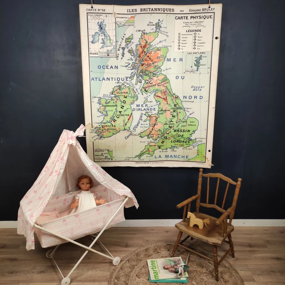
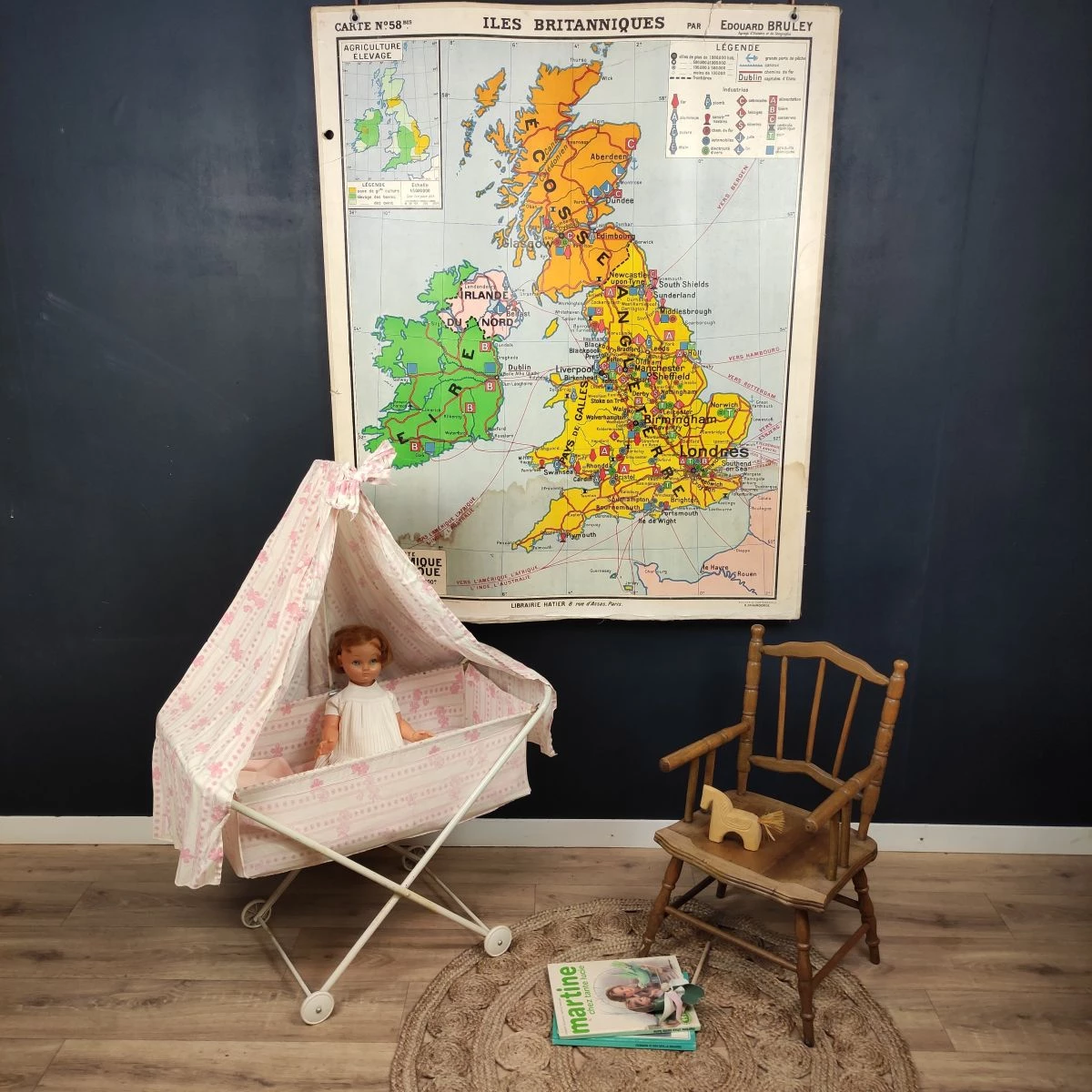
Original school card HATIER - BRULEY N°58 British Islands 120 x 100

€120.00
Reference:
5939
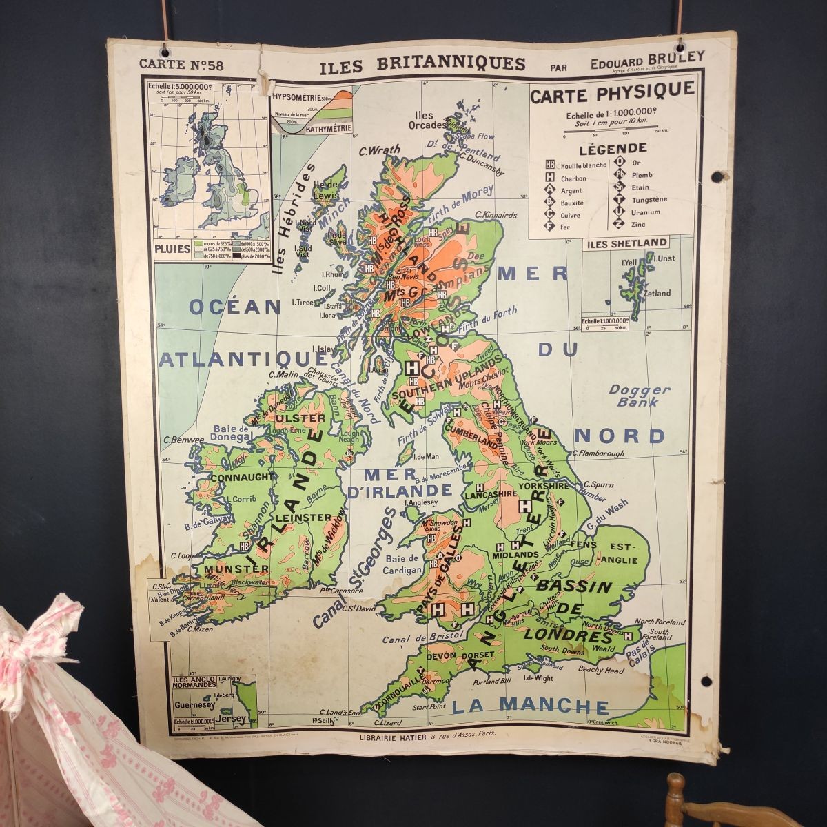
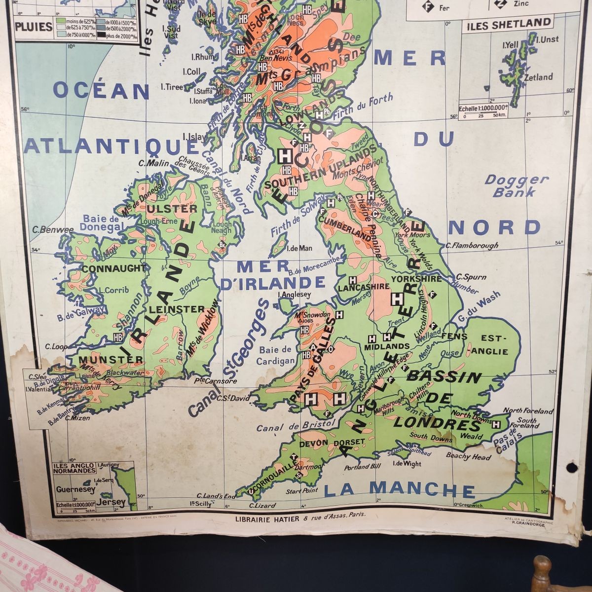
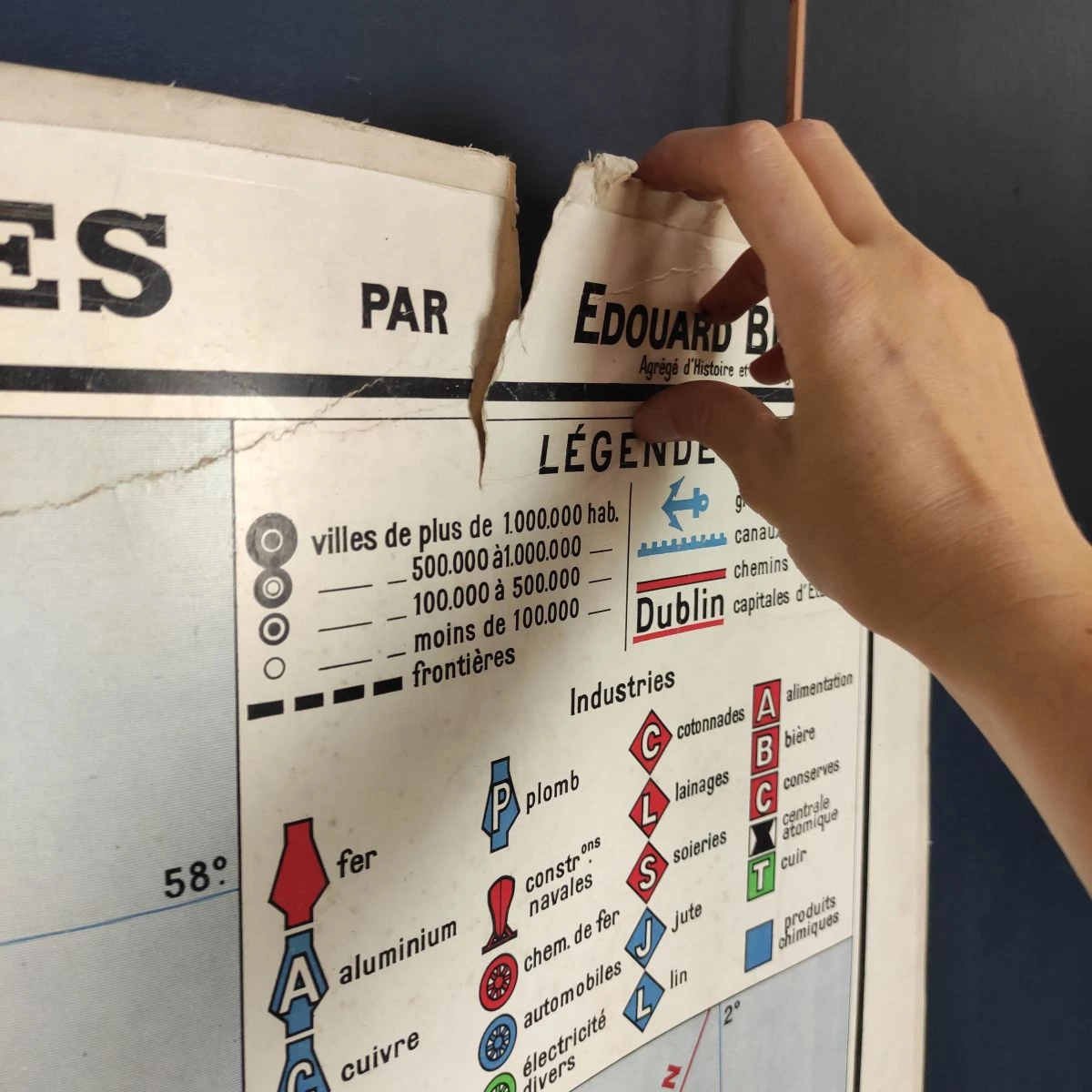
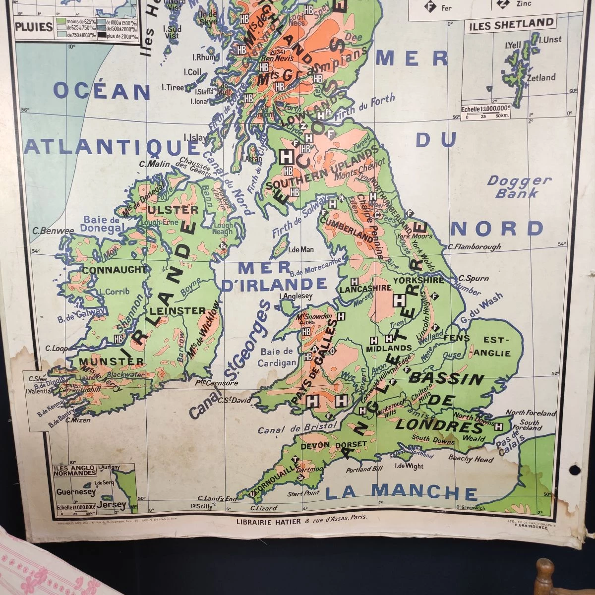
Large old school map by geographer Edouard BRULEY, Numbered N°58 British Islands, circa 1940 - 1950
Printed on heavy card stock
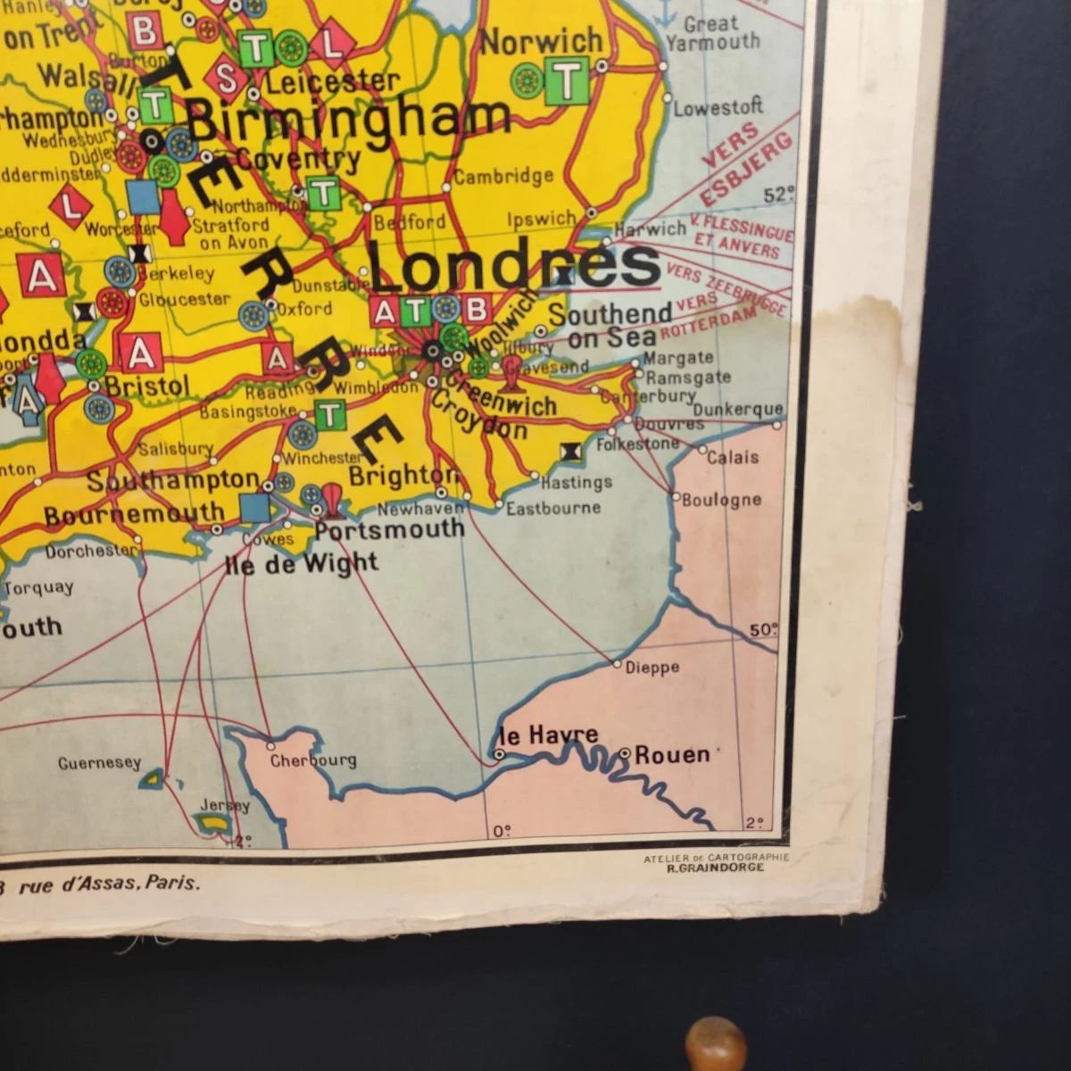
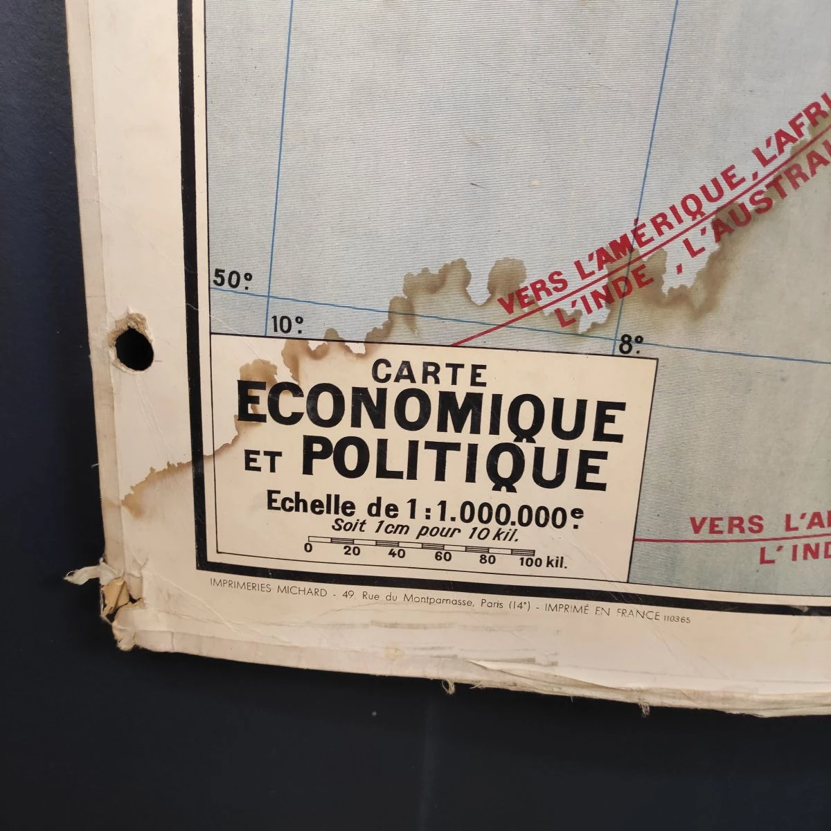
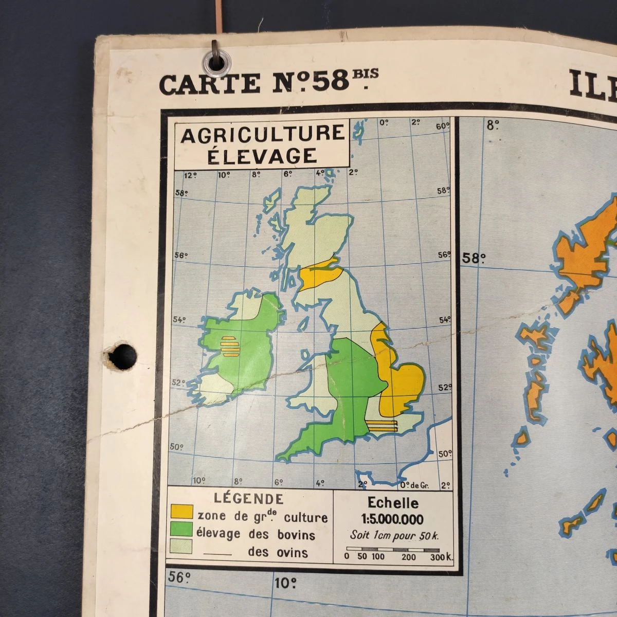
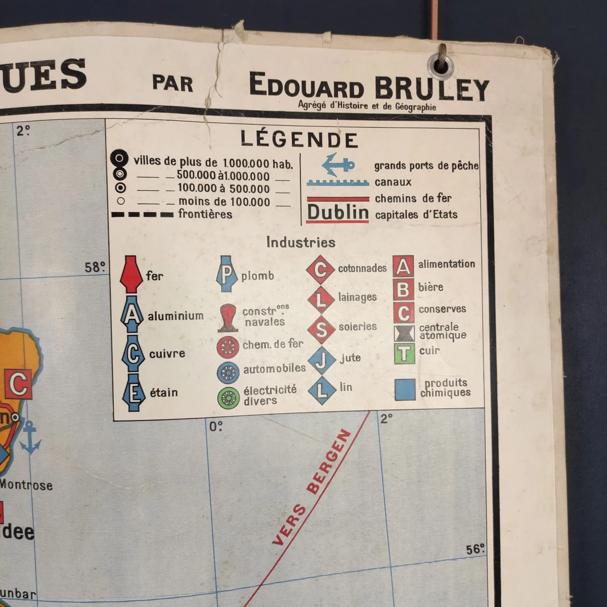
Published by Librairie Hatier, 8 rue d'Assas, Paris by Edouard BRULEY, agrégé d'Histoire et de Géographie
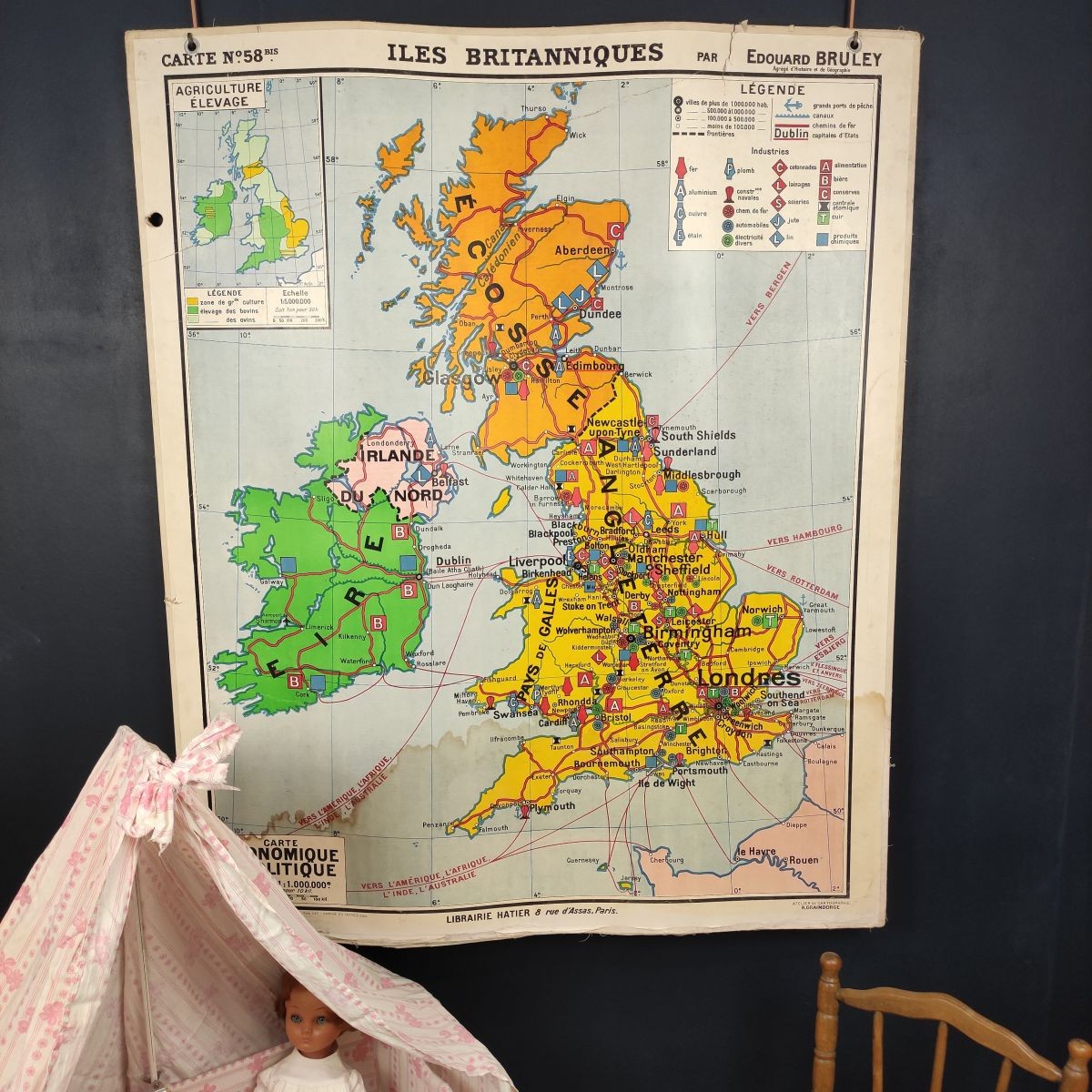
One side physical map, reverse with economic & political map.
122ht x 102L.
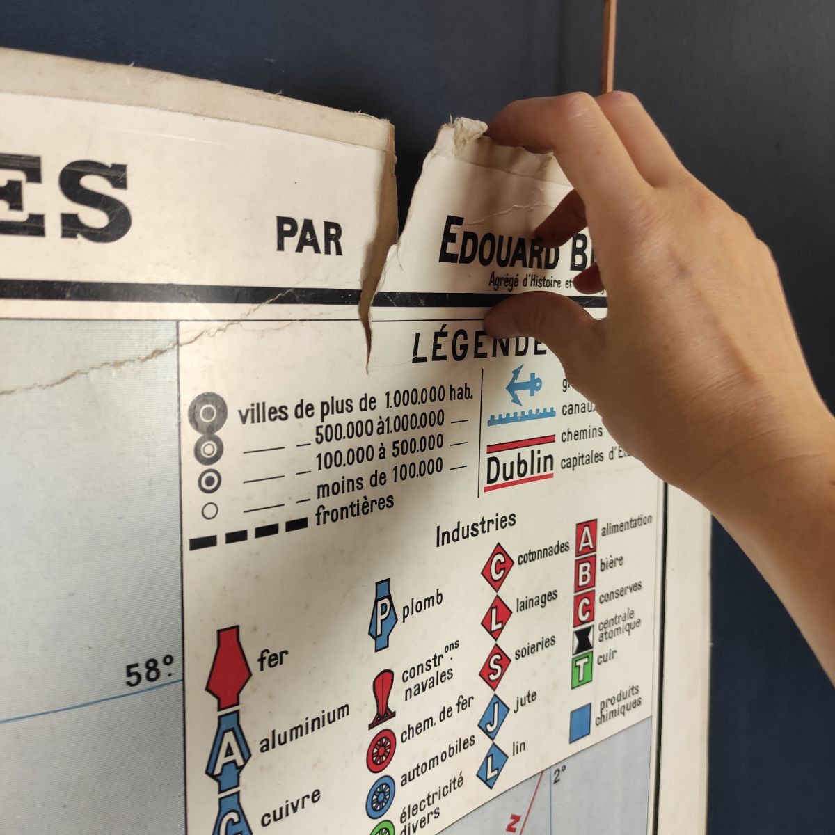
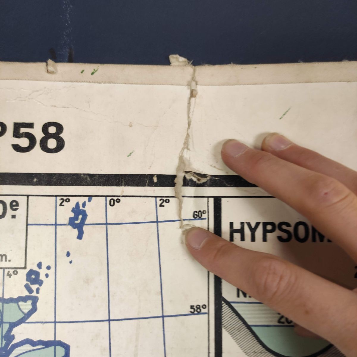
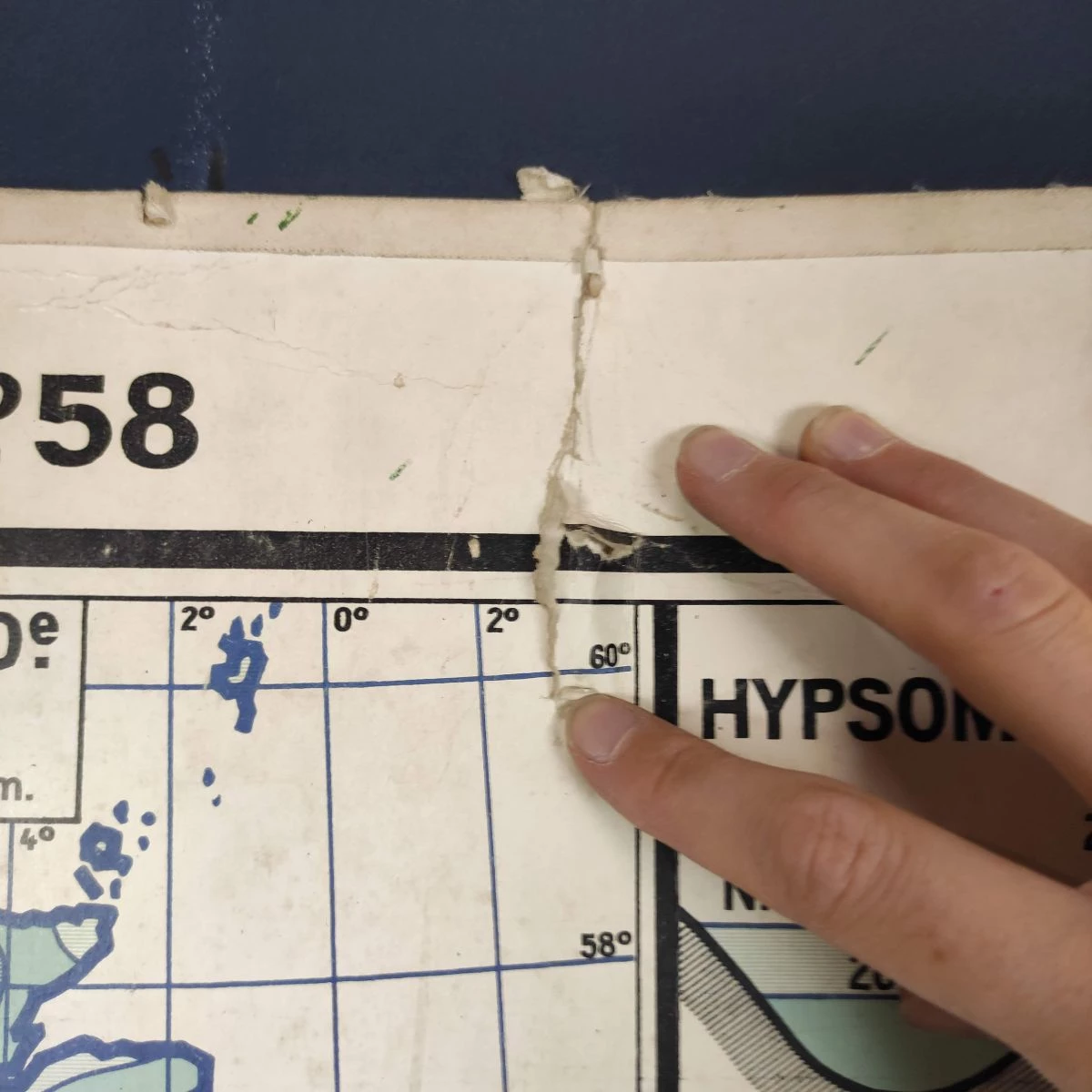
Stored hanging so less warped since photos, tears at top, 2 more holes at side, stains at bottom & wear but still nice & in good condition
Will be sent in a rolled tube a bit wide so as not to bend it
Condition : **
We charge actual shipping costs based on the weight of the package. If you add one or two items to your order, the shipping costs will change very little. Browse our shop, you will probably find what you are looking for to optimise your shipping! Order online and feel secure: well protected items and 100% secure payment.
Printed on heavy card stock
Published by Librairie Hatier, 8 rue d'Assas, Paris by Edouard BRULEY, agrégé d'Histoire et de Géographie
One side physical map, reverse with economic & political map.
122ht x 102L.
Stored hanging so less warped since photos, tears at top, 2 more holes at side, stains at bottom & wear but still nice & in good condition
Will be sent in a rolled tube a bit wide so as not to bend it
Condition : **
We charge actual shipping costs based on the weight of the package. If you add one or two items to your order, the shipping costs will change very little. Browse our shop, you will probably find what you are looking for to optimise your shipping! Order online and feel secure: well protected items and 100% secure payment.


